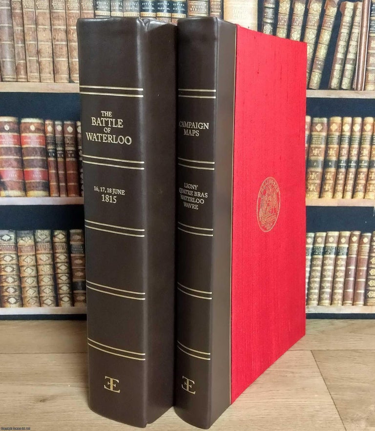
The Waterloo Commemorative Anthology. 2 Volumes. Limited Edition Set, in Slipcase.
London: Extraordinary Editions, 2015. Hardcover. The Waterloo Commemorative Anthology. 2015. Limited edition of 1,815 copies. Two-volume set comprising the anthology and a matching portfolio of maps, in a slipcase. An illustrated account of the Waterloo campaign, combining William Mudford’s "An Historical Account of the Campaign in the Netherlands in 1815"..... More